Directions
Monarch Mountain is located near the top of Monarch Pass on US Hwy 50, 154 miles SW of Denver, 123 miles W of Colorado Springs and 20 miles W of our hometown of Salida. Click on the ‘More options’ at upper left in the map below to enter your address for directions.
Driving Conditions
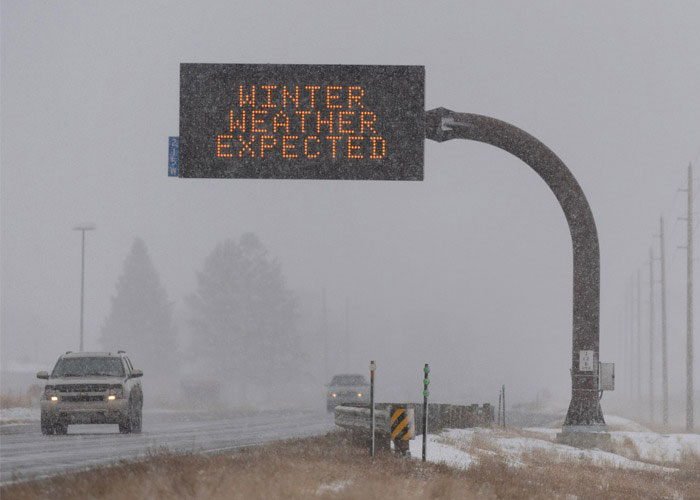
Colorado winter driving conditions can vary greatly from day to day and even within the same day, especially at higher elevations such as Monarch Pass. The Colorado Department of Transportation (CDOT) does a good job of keeping the Pass clear of snow and sanding it for traction when needed. There are also periods of time when the highway is dry for days.
Check out CDOT’s website for current road conditions, closures…etc. along your route within Colorado. You’ll also want to review Colorado’s Traction Law to see if your vehicle is road ready should conditions turn dicey. Remember, it could be dry in the morning and snow packed in the afternoon, or vice versa.

Airports
The Colorado Springs Airport (COS) is the closest commercial airport to Monarch Mountain. You can fly directly into Colorado Springs Airport from several cities around the country, making your journey to Monarch Mountain that much faster and easier. The Denver International Airport (DEN) is another option when flying in from out of state and services a larger number of destinations. COS is about a 2 ½ hour drive to Monarch, whereas DEN is a 3 ½ hour drive, depending on traffic.
Shuttles
Monarch Mountain does not have public shuttles, though you might check out:
- Salida Hot Springs Aquatic Center: Fri/Sat/Sun bus service to/from Monarch (winter only) 719.539.6738
- Bustang: AM route Gunnison to Monarch; PM route Monarch to Gunnison (winter only) 800.900.3011
- Rocky Mountain Taxi: Serving Chaffee County 719.966.2005
- Rocky Mountain Ride: Fri/Sat/Sun/Mon and private shuttles from/to Colorado Springs 719.362.6332
